File:Struma-map.jpg
Jump to navigation
Jump to search

Size of this preview: 774 × 600 pixels. Other resolutions: 310 × 240 pixels | 619 × 480 pixels | 880 × 682 pixels.
Original file (880 × 682 pixels, file size: 72 KB, MIME type: image/jpeg)
File history
Click on a date/time to view the file as it appeared at that time.
| Date/Time | Thumbnail | Dimensions | User | Comment | |
|---|---|---|---|---|---|
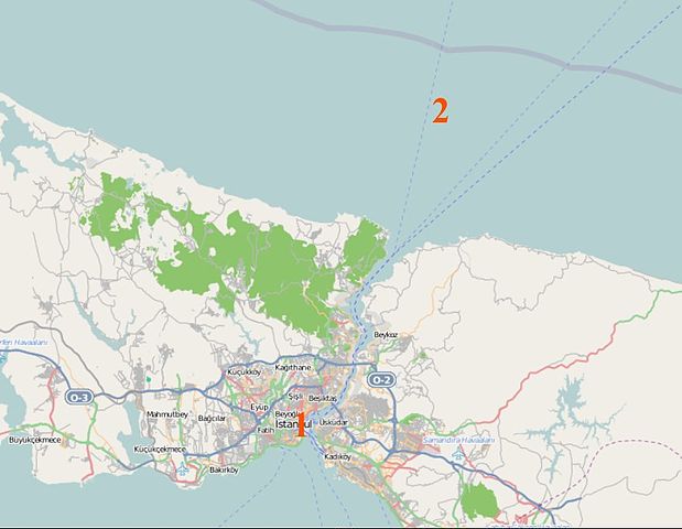
| current | 14:50, 24 February 2012 | | 880 × 682 (72 KB) | commons>DF5GO | {{Information |Description={{en|Map of the en:Bosphorus showing the location of the Struma in Istanbul harbor (1), and its eventual sinking point after it was towed out to the en:Black Sea (2).}} |Source=Transferred from [... |
File usage
There are no pages that use this file.