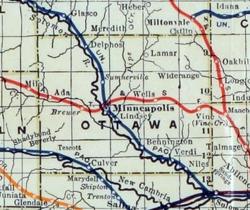
File:Stouffer's Railroad Map of Kansas 1915-1918 Ottawa County.png
Jump to navigation
Jump to search
No higher resolution available.
Stouffer's_Railroad_Map_of_Kansas_1915-1918_Ottawa_County.png (355 × 298 pixels, file size: 213 KB, MIME type: image/png)
File history
Click on a date/time to view the file as it appeared at that time.
| Date/Time | Thumbnail | Dimensions | User | Comment | |
|---|---|---|---|---|---|
| current | 05:03, 31 May 2013 | | 355 × 298 (213 KB) | commons>Sbmeirow | Fix Level |
File usage
There are no pages that use this file.