File:Spain-2008-29-11.png
Jump to navigation
Jump to search

Size of this preview: 696 × 599 pixels. Other resolutions: 279 × 240 pixels | 558 × 480 pixels | 992 × 854 pixels.
Original file (992 × 854 pixels, file size: 400 KB, MIME type: image/png)
File history
Click on a date/time to view the file as it appeared at that time.
| Date/Time | Thumbnail | Dimensions | User | Comment | |
|---|---|---|---|---|---|
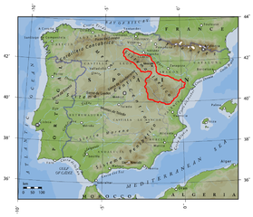
| current | 01:15, 29 November 2008 | | 992 × 854 (400 KB) | commons>FDV | {{Information |Description=Topographical map of Spain. Author: Bas de Jong Sources: * U.S. National Geophysical Data Center (NGDC) * The Times Atlas of the World. 11th ed. London: Times Books, 2005. * "Spain." Encyclopædia Britannica from Encyclopædi |
File usage
There are no pages that use this file.