File:South Korea Topography.png
Jump to navigation
Jump to search

Size of this preview: 516 × 599 pixels. Other resolutions: 207 × 240 pixels | 413 × 480 pixels | 662 × 768 pixels | 882 × 1,024 pixels | 1,705 × 1,979 pixels.
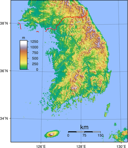
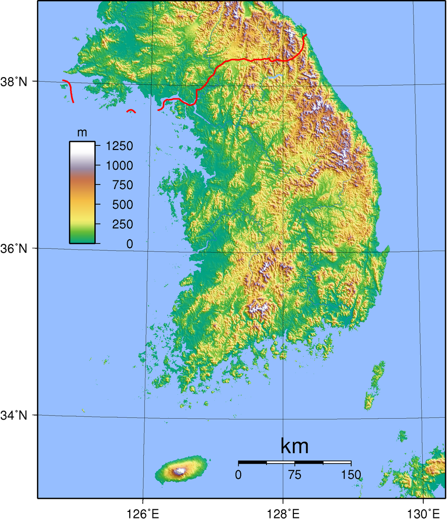
Original file (1,705 × 1,979 pixels, file size: 2.37 MB, MIME type: image/png)
File history
Click on a date/time to view the file as it appeared at that time.
| Date/Time | Thumbnail | Dimensions | User | Comment | |
|---|---|---|---|---|---|
| current | 17:43, 1 September 2007 | | 1,705 × 1,979 (2.37 MB) | commons>Sadalmelik | {{Information |Description=Topographic map of South Korea. Created wth GMT from SRTM data. |Source=self-made |Date=Sep 1, 2007 |Author= Sadalmelik }} Category:Maps of South Korea Category:Topographic maps of Asia |
File usage
There are no pages that use this file.