File:Sierradeguadalupe Mapa.jpg
Jump to navigation
Jump to search
No higher resolution available.
Sierradeguadalupe_Mapa.jpg (567 × 405 pixels, file size: 34 KB, MIME type: image/jpeg)
File history
Click on a date/time to view the file as it appeared at that time.
| Date/Time | Thumbnail | Dimensions | User | Comment | |
|---|---|---|---|---|---|
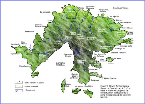
| current | 14:35, 31 March 2010 | | 567 × 405 (34 KB) | commons>Birdie | {{Information |Description={{en|1=Map of the Sierra de Guadalupe in Mexico. File already present in Commons but a new file sharing the same name (File:Sierradeguadalupe.jpg) has erased it. It can be seen in the history of this file, version of the 20 |
File usage
There are no pages that use this file.