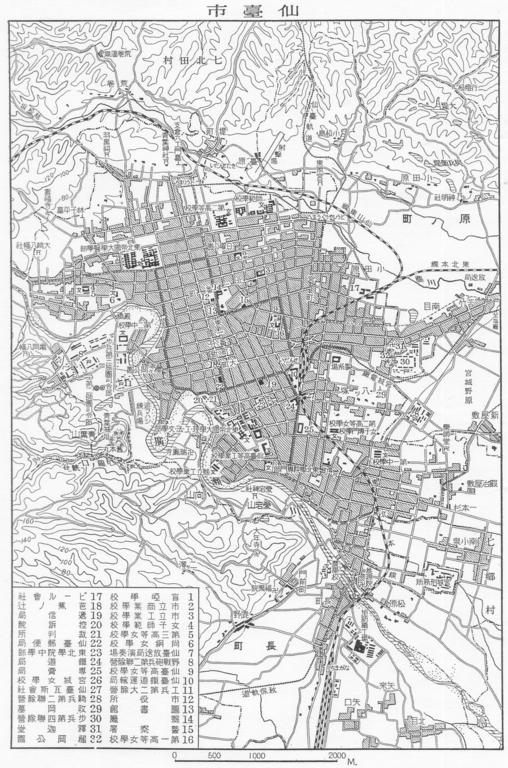
File:Sendai map circa 1930.PNG
Jump to navigation
Jump to search

Size of this preview: 396 × 599 pixels. Other resolutions: 158 × 240 pixels | 317 × 480 pixels | 508 × 768 pixels | 1,098 × 1,661 pixels.
Original file (1,098 × 1,661 pixels, file size: 1.29 MB, MIME type: image/png)
File history
Click on a date/time to view the file as it appeared at that time.
| Date/Time | Thumbnail | Dimensions | User | Comment | |
|---|---|---|---|---|---|
| current | 10:22, 15 August 2009 | | 1,098 × 1,661 (1.29 MB) | commons>あばさー | {{Information |Description={{en|Sendai map circa 1930}}{{ja|1930年頃の仙台地図}} |Source={{en|Japanese book "Series of Japanese geography and folk culture: Vol.4" published by Shinkosha.}}{{ja|新光社「日本地理風俗大系 第4巻」より� |
File usage
There are no pages that use this file.