File:Seattle - Queen Anne map.jpg
Jump to navigation
Jump to search

Size of this preview: 389 × 599 pixels. Other resolutions: 156 × 240 pixels | 312 × 480 pixels | 499 × 768 pixels | 1,084 × 1,669 pixels.
Original file (1,084 × 1,669 pixels, file size: 364 KB, MIME type: image/jpeg)
File history
Click on a date/time to view the file as it appeared at that time.
| Date/Time | Thumbnail | Dimensions | User | Comment | |
|---|---|---|---|---|---|
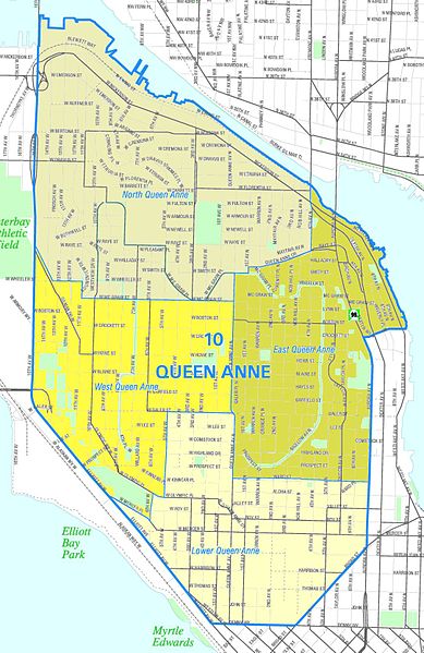
| current | 23:07, 23 July 2008 | | 1,084 × 1,669 (364 KB) | commons>Jmabel | ==Summary== {{Information |Description=Unofficial map of the Queen Anne neighborhood. {{Seattle Neighborhood Atlas disclaimer}} |Source=Image from the [http://clerk.ci.seattle.wa.us/public/nmaps/html/NN-1200L.htm Seattle City Clerk's Neighborhood Map Atla |
File usage
There are no pages that use this file.