File:Saudia Arabia topographic map.jpg
Jump to navigation
Jump to search
Size of this preview: 790 × 599 pixels. Other resolutions: 316 × 240 pixels | 633 × 480 pixels | 933 × 708 pixels.
Original file (933 × 708 pixels, file size: 280 KB, MIME type: image/jpeg)
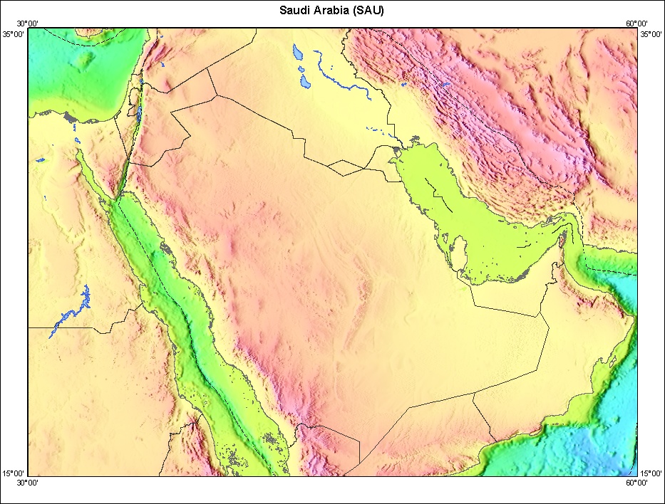
Topography of Saudia Arabia and surrounding countries.
http://walrus.wr.usgs.gov/infobank/gazette/html/regions/sau.html
This image is in the public domain in the United States because it only contains materials that originally came from the United States Geological Survey, an agency of the United States Department of the Interior. For more information, see the official USGS copyright policy.
|


File history
Click on a date/time to view the file as it appeared at that time.
| Date/Time | Thumbnail | Dimensions | User | Comment | |
|---|---|---|---|---|---|
| current | 00:10, 27 October 2005 | | 933 × 708 (280 KB) | commons>Brian0918 | Topography of Saudia Arabia and surrounding countries. http://walrus.wr.usgs.gov/infobank/gazette/html/regions/sau.html {{PD-USGov-Interior-USGS}} Category:Maps of Saudi Arabia |
File usage
There are no pages that use this file.