File:Satellite image of Azerbaijan in March 2003.jpg
Jump to navigation
Jump to search
Size of this preview: 754 × 600 pixels. Other resolutions: 302 × 240 pixels | 603 × 480 pixels | 965 × 768 pixels | 1,280 × 1,019 pixels | 2,002 × 1,593 pixels.
Original file (2,002 × 1,593 pixels, file size: 526 KB, MIME type: image/jpeg)
File history
Click on a date/time to view the file as it appeared at that time.
| Date/Time | Thumbnail | Dimensions | User | Comment | |
|---|---|---|---|---|---|
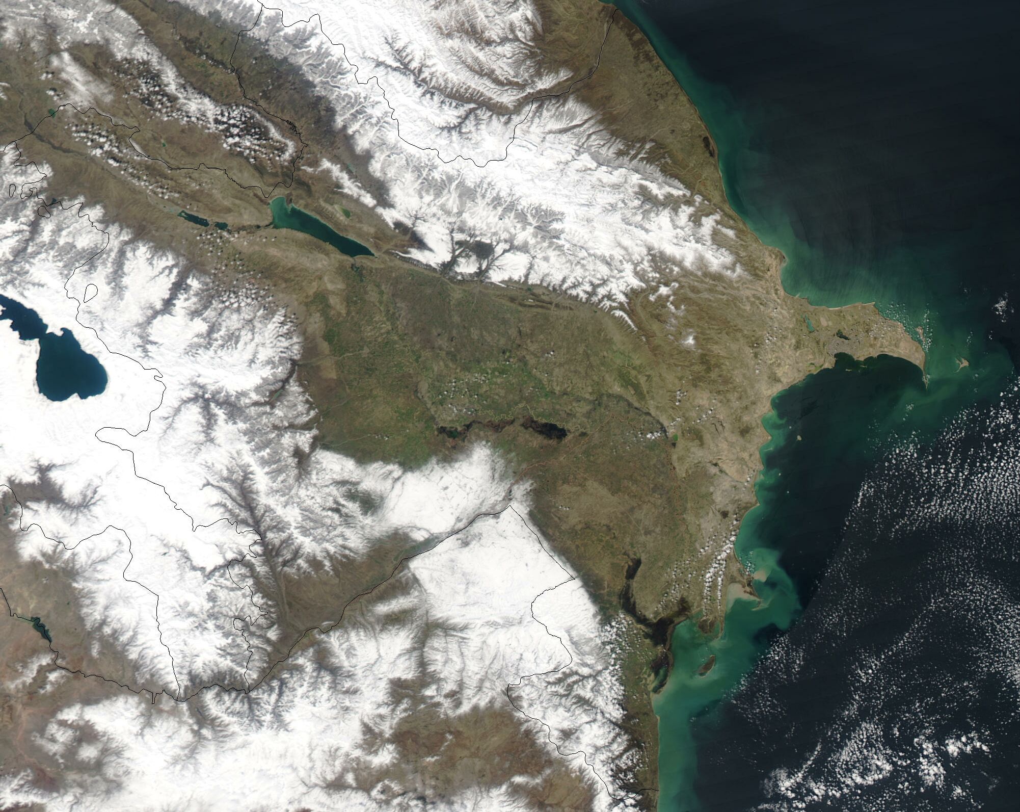
| current | 14:56, 18 December 2004 | | 2,002 × 1,593 (526 KB) | commons>Hautala | {{PD-USGov-NASA}} A cropped satellite image showing Azerbaijan in March 2003. Original image taken from NASA's Visible Earth http://visibleearth.nasa.gov/cgi-bin/viewrecord?25290 |
File usage
There are no pages that use this file.