File:Santa Monica Bay Map.jpg
Jump to navigation
Jump to search
No higher resolution available.
Santa_Monica_Bay_Map.jpg (468 × 597 pixels, file size: 283 KB, MIME type: image/jpeg)
File history
Click on a date/time to view the file as it appeared at that time.
| Date/Time | Thumbnail | Dimensions | User | Comment | |
|---|---|---|---|---|---|
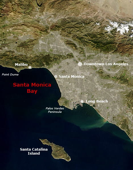
| current | 23:55, 28 May 2006 | | 468 × 597 (283 KB) | commons>Otto Normalverbraucher | following the original text out of the english wikipedia, where it was originally uploaded: ''Map of Southern California with Santa Monica Bay identified Underlying map is an aerial map obtained from NASA (original: http://earthobservatory.nasa.gov/Natu |
File usage
There are no pages that use this file.