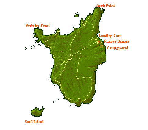
File:Santa-barbara-island-nps-map.PNG
Jump to navigation
Jump to search
No higher resolution available.
Santa-barbara-island-nps-map.PNG (485 × 425 pixels, file size: 16 KB, MIME type: image/png)
File history
Click on a date/time to view the file as it appeared at that time.
| Date/Time | Thumbnail | Dimensions | User | Comment | |
|---|---|---|---|---|---|
| current | 14:04, 20 May 2009 | | 485 × 425 (16 KB) | commons>Telim tor | NPS map of Santa Barbara Island, converted from .gif into .png format {{PD-USGov-NPS}} Category:Santa Barbara Island Category:Channel Islands National Park Category:Maps of California <!--{{ImageUpload|basic}}--> |
File usage
There are no pages that use this file.