File:Samoa districts named.png
Jump to navigation
Jump to search

Size of this preview: 800 × 389 pixels. Other resolutions: 320 × 156 pixels | 640 × 311 pixels | 1,000 × 486 pixels.
Original file (1,000 × 486 pixels, file size: 21 KB, MIME type: image/png)
File history
Click on a date/time to view the file as it appeared at that time.
| Date/Time | Thumbnail | Dimensions | User | Comment | |
|---|---|---|---|---|---|
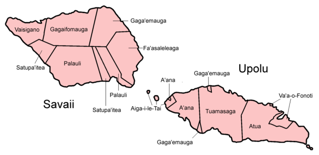
| current | 03:53, 5 January 2006 | | 1,000 × 486 (21 KB) | commons>Golbez | Map of the districts of Samoa, named in English. Made by User:Golbez. Category:Maps of Samoa |
File usage
There are no pages that use this file.