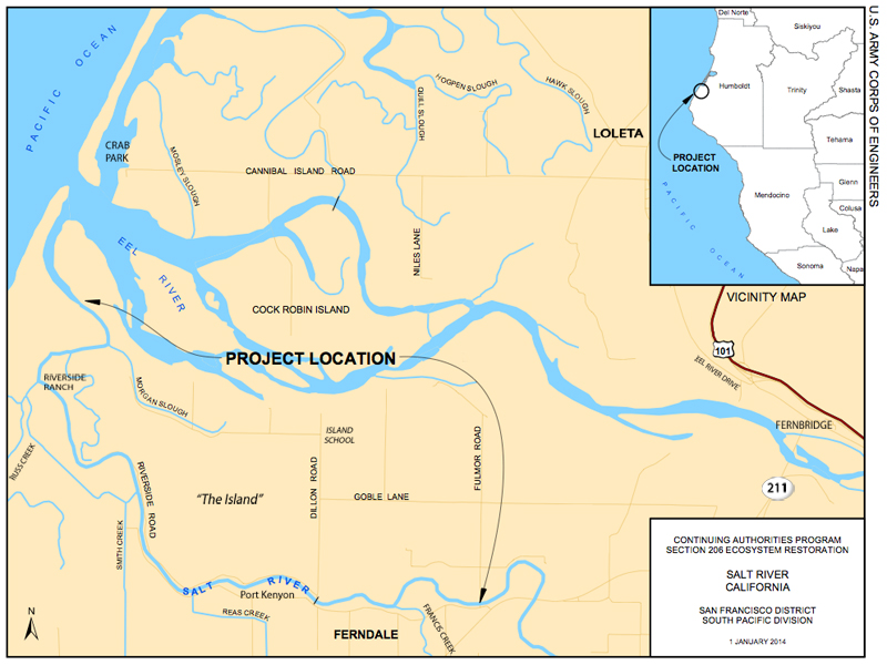
File:SaltRiverMap.jpg
Jump to navigation
Jump to search
No higher resolution available.
SaltRiverMap.jpg (800 × 600 pixels, file size: 329 KB, MIME type: image/jpeg)
File history
Click on a date/time to view the file as it appeared at that time.
| Date/Time | Thumbnail | Dimensions | User | Comment | |
|---|---|---|---|---|---|
| current | 01:36, 23 October 2013 | | 800 × 600 (329 KB) | commons>Ellin Beltz | Fixed location of town "Loleta" and "Riverside Ranch" which were a bit out of location. Added labels for SR211, Fernbridge and Eel River Drive. |
File usage
There are no pages that use this file.