File:SE0A Map.gif
Jump to navigation
Jump to search
No higher resolution available.
SE0A_Map.gif (240 × 512 pixels, file size: 9 KB, MIME type: image/gif)
File history
Click on a date/time to view the file as it appeared at that time.
| Date/Time | Thumbnail | Dimensions | User | Comment | |
|---|---|---|---|---|---|
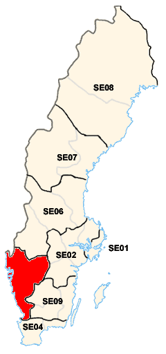
| current | 23:11, 17 April 2009 | | 240 × 512 (9 KB) | commons>DerBorg | == Summary == {{Information |Description={{en|1=Map of the National Area of Sweden SE0A ('''West Sweden''').}} |Source=Self-made, from the original Image:sweden_nuts2.png (Uploaded by user:Mic) |Author='''[[User:Lokomotiv|Локом� |
File usage
There are no pages that use this file.