File:Ruanda Prov 1912 B002a.png
Jump to navigation
Jump to search

Size of this preview: 608 × 599 pixels. Other resolutions: 244 × 240 pixels | 487 × 480 pixels | 779 × 768 pixels | 1,039 × 1,024 pixels | 1,845 × 1,818 pixels.
Original file (1,845 × 1,818 pixels, file size: 946 KB, MIME type: image/png)
File history
Click on a date/time to view the file as it appeared at that time.
| Date/Time | Thumbnail | Dimensions | User | Comment | |
|---|---|---|---|---|---|
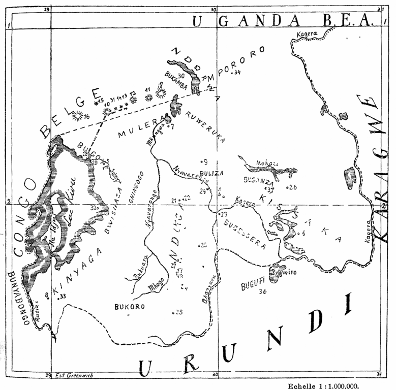
| current | 13:41, 29 June 2016 | | 1,845 × 1,818 (946 KB) | commons>Katharinaiv | {{Information |Description ={{en|1=Map of the Ruanda area of the then german colony "German East Africa" with important lakes, provinces and localities mentionned in the given article}} {{fr|1={{original caption|Carte du Ruanda où sond indiqués le... |
File usage
There are no pages that use this file.