File:Royce-areas-michigan.jpg
Jump to navigation
Jump to search

Size of this preview: 515 × 599 pixels. Other resolutions: 206 × 240 pixels | 412 × 480 pixels | 660 × 768 pixels | 880 × 1,024 pixels | 1,495 × 1,740 pixels.
Original file (1,495 × 1,740 pixels, file size: 511 KB, MIME type: image/jpeg)
File history
Click on a date/time to view the file as it appeared at that time.
| Date/Time | Thumbnail | Dimensions | User | Comment | |
|---|---|---|---|---|---|
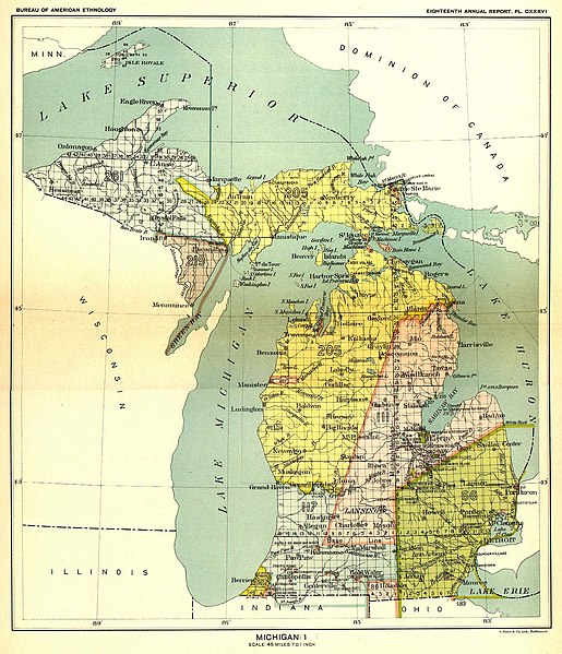
| current | 15:13, 11 May 2009 | | 1,495 × 1,740 (511 KB) | commons>Sylfred1977 | {{Information |Description={{en|This 19th century map, produced by the Smithsonian Institution, depicts the major Native American land cessions that resulted in what is now Michigan. United States Serial Set Number 4015 contains the second part of the two |
File usage
There are no pages that use this file.