File:PuertoRico AtlasBlaeuVanDerHem.jpg
Jump to navigation
Jump to search

Size of this preview: 800 × 525 pixels. Other resolutions: 320 × 210 pixels | 640 × 420 pixels | 1,024 × 673 pixels | 1,280 × 841 pixels | 2,162 × 1,420 pixels.
Original file (2,162 × 1,420 pixels, file size: 1.03 MB, MIME type: image/jpeg)
File history
Click on a date/time to view the file as it appeared at that time.
| Date/Time | Thumbnail | Dimensions | User | Comment | |
|---|---|---|---|---|---|
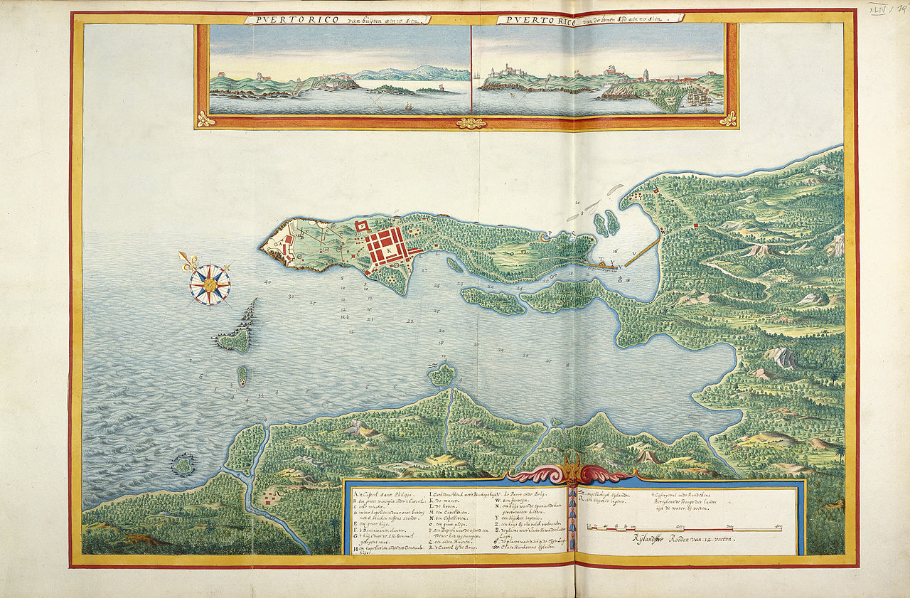
| current | 18:00, 13 April 2009 | | 2,162 × 1,420 (1.03 MB) | commons>OldMaps | {{Information |Description={{en|1=Map of Puerto Rico, 17th century}} {{nl|1=Kaart van Puerto Rico, 17e eeuw}} |Source=Atlas Blaeu van der Hem |Author=Unknown |Date=17th century |Permission= |other_versions= }} <!--{{ImageUpload|full}}--> [[Category:Atlas |
File usage
There are no pages that use this file.