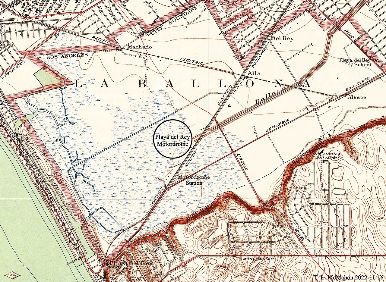
File:Playa del Rey Motordrome Location on USGS Map CA Venice 301113 1934 24000 geo.jpg
Jump to navigation
Jump to search

Size of this preview: 800 × 585 pixels. Other resolutions: 320 × 234 pixels | 640 × 468 pixels | 1,024 × 749 pixels | 1,280 × 936 pixels | 2,560 × 1,873 pixels | 5,120 × 3,745 pixels.
Original file (5,120 × 3,745 pixels, file size: 12.02 MB, MIME type: image/jpeg)
File history
Click on a date/time to view the file as it appeared at that time.
| Date/Time | Thumbnail | Dimensions | User | Comment | |
|---|---|---|---|---|---|
| current | 14:44, 18 November 2022 | | 5,120 × 3,745 (12.02 MB) | commons>TLM2TLM | Uploaded own work with UploadWizard |
File usage
There are no pages that use this file.