File:Pike Township, Warren County, Indiana map from 1877 atlas.png
Jump to navigation
Jump to search
Size of this preview: 431 × 599 pixels. Other resolutions: 172 × 240 pixels | 345 × 480 pixels | 552 × 768 pixels | 736 × 1,024 pixels | 1,473 × 2,048 pixels.
Original file (1,473 × 2,048 pixels, file size: 5.29 MB, MIME type: image/png)
File history
Click on a date/time to view the file as it appeared at that time.
| Date/Time | Thumbnail | Dimensions | User | Comment | |
|---|---|---|---|---|---|
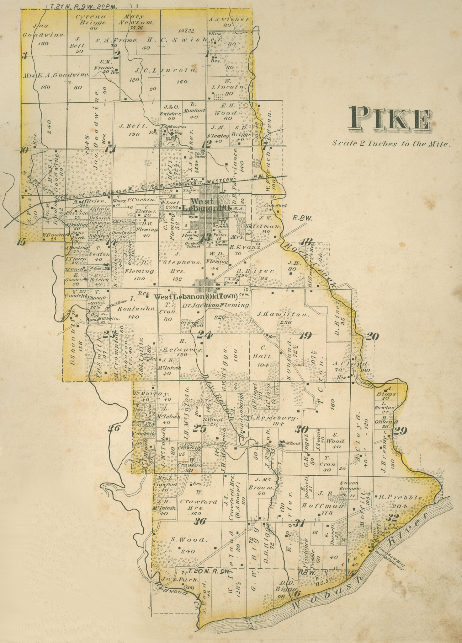
| current | 14:43, 5 February 2011 | | 1,473 × 2,048 (5.29 MB) | commons>Omnedon | == {{int:filedesc}} == {{Information |Description=A map of Pike Township, Warren County, Indiana from an 1877 county atlas. |Source=Atlas of Warren County, Indiana |Date=1877 |Author=J. H. Beers and Company, Ch |
File usage
There are no pages that use this file.