File:Ph locator map panay.png
Jump to navigation
Jump to search
No higher resolution available.
Ph_locator_map_panay.png (300 × 440 pixels, file size: 22 KB, MIME type: image/png)
File history
Click on a date/time to view the file as it appeared at that time.
| Date/Time | Thumbnail | Dimensions | User | Comment | |
|---|---|---|---|---|---|
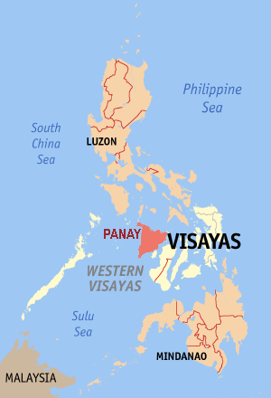
| current | 08:56, 9 October 2006 | | 300 × 440 (22 KB) | commons>Magalhães | {{Information |Description=Map of the Philippine island Panay |Source=editted by ~~~ from original GFDL map from English Wikipedia: Image:Ph locator map aklan.png |Date=09-10-2006 |Author=~~~ |Permission=GFDL }} Category:Maps of the Philippines |
File usage
There are no pages that use this file.