File:Ph locator map luzon.png
Jump to navigation
Jump to search
No higher resolution available.
Ph_locator_map_luzon.png (300 × 440 pixels, file size: 20 KB, MIME type: image/png)
File history
Click on a date/time to view the file as it appeared at that time.
| Date/Time | Thumbnail | Dimensions | User | Comment | |
|---|---|---|---|---|---|
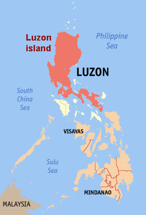
| current | 19:38, 20 June 2006 | | 300 × 440 (20 KB) | commons>Magalhães | Map of the Philippines showing the location of Luzon Island. Editted map by ~~~ from [:Image:Ph locator map ilocos norte.png original] by en:User:seav {{GFDL}} |
File usage
There are no pages that use this file.