File:PetroleumBasinsWA.png
Jump to navigation
Jump to search

Size of this preview: 416 × 599 pixels. Other resolutions: 167 × 240 pixels | 333 × 480 pixels | 700 × 1,008 pixels.
Original file (700 × 1,008 pixels, file size: 181 KB, MIME type: image/png)
File history
Click on a date/time to view the file as it appeared at that time.
| Date/Time | Thumbnail | Dimensions | User | Comment | |
|---|---|---|---|---|---|
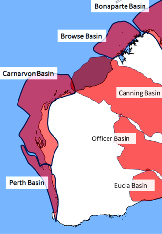
| current | 12:29, 29 September 2008 | | 700 × 1,008 (181 KB) | commons>Glen Dillon | {{Information |Description=Approximate locations only. shape and size of basins determined by visual inspection of map on page 4 of Energy of Australia 2008 published by the Australian Bureau of Agricultural and Resource Economics (http://abare.gov.au/pub |
File usage
There are no pages that use this file.