File:POL powiat pyrzycki map.svg
Jump to navigation
Jump to search

Size of this PNG preview of this SVG file: 531 × 568 pixels. Other resolutions: 224 × 240 pixels | 449 × 480 pixels | 718 × 768 pixels | 957 × 1,024 pixels | 1,915 × 2,048 pixels.
Original file (SVG file, nominally 531 × 568 pixels, file size: 160 KB)
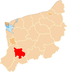
| Description | Położenie powiatu pyrzyckiego na mapie województwa zachodniopomorskiego |
| Date | |
| Source | Own work |
| Author | Poznaniak |
| Permission (Reusing this file) |
This file is licensed under the Creative Commons Attribution-Share Alike 2.5 Generic license.
|
File history
Click on a date/time to view the file as it appeared at that time.
| Date/Time | Thumbnail | Dimensions | User | Comment | |
|---|---|---|---|---|---|
| current | 19:13, 29 January 2007 | | 531 × 568 (160 KB) | commons>Poznaniak | {{Information |Description=Położenie powiatu pyrzyckiego na mapie województwa zachodniopomorskiego |Source=własna praca |Date=29.01.2007 |Author=Poznaniak |Permission={{cc-by-sa-2.5}} }} [[Category:Wojewódz |
File usage
There are no pages that use this file.