File:PA 84 quad in Piatt.jpg
Jump to navigation
Jump to search
No higher resolution available.
PA_84_quad_in_Piatt.jpg (715 × 509 pixels, file size: 116 KB, MIME type: image/jpeg)
File history
Click on a date/time to view the file as it appeared at that time.
| Date/Time | Thumbnail | Dimensions | User | Comment | |
|---|---|---|---|---|---|
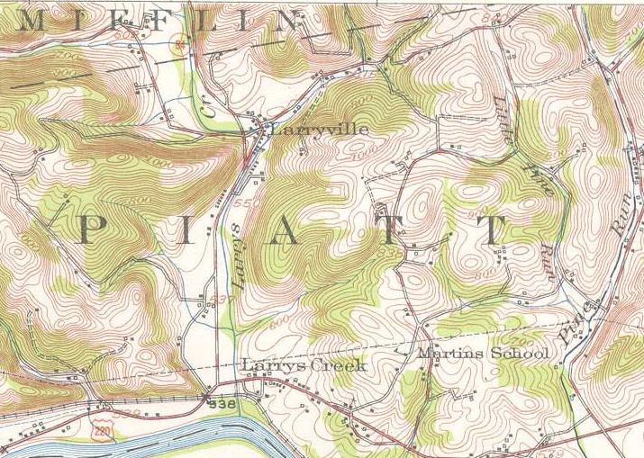
| current | 12:43, 22 July 2009 | | 715 × 509 (116 KB) | commons>Mitchazenia | {{Information |Description=A United States Geological Survey Topographic Quadrangle marking the southernmost stretch of Pennsylvania Route 84 (now Pennsylvania Route 287) from Larrysville to Larrys Creek in 1953. |Source=[http://historical.mytopo.com/getI |
File usage
There are no pages that use this file.