File:Orkney Islands UK relief location map.jpg
Jump to navigation
Jump to search

Size of this preview: 467 × 599 pixels. Other resolutions: 187 × 240 pixels | 374 × 480 pixels | 598 × 768 pixels | 798 × 1,024 pixels | 2,004 × 2,572 pixels.
Original file (2,004 × 2,572 pixels, file size: 357 KB, MIME type: image/jpeg)
File history
Click on a date/time to view the file as it appeared at that time.
| Date/Time | Thumbnail | Dimensions | User | Comment | |
|---|---|---|---|---|---|
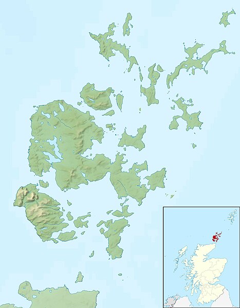
| current | 12:26, 30 November 2011 | | 2,004 × 2,572 (357 KB) | commons>Nilfanion | {{Information |Description=Relief map of the Orkney Islands (excluding Sule Stack and Sule Skerry), UK. Equirectangular map projection on WGS 84 datum, with N/S stretched 180% Geographic limits: *W |
File usage
There are no pages that use this file.