File:Ontario 1718.jpg
Jump to navigation
Jump to search
Size of this preview: 800 × 395 pixels. Other resolutions: 320 × 158 pixels | 640 × 316 pixels | 1,201 × 593 pixels.
Original file (1,201 × 593 pixels, file size: 449 KB, MIME type: image/jpeg)
File history
Click on a date/time to view the file as it appeared at that time.
| Date/Time | Thumbnail | Dimensions | User | Comment | |
|---|---|---|---|---|---|
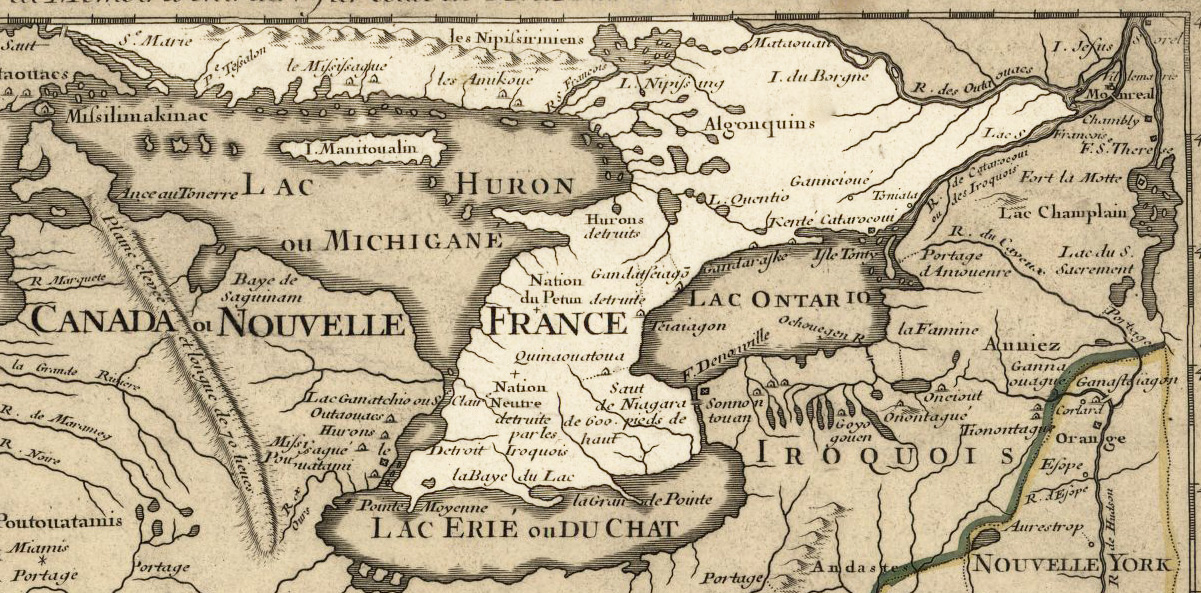
| current | 19:54, 21 September 2009 | | 1,201 × 593 (449 KB) | commons>Jeangagnon | {{Information |Description={{en|en:Ontario 1718, approximate modern province area highlighted, from ''Carte de la Louisiane et du cours du Mississipi'' by en:Guillaume de L'Isle.<br/> == Licensing: == My contributions cleaning and highlighting |
File usage
There are no pages that use this file.