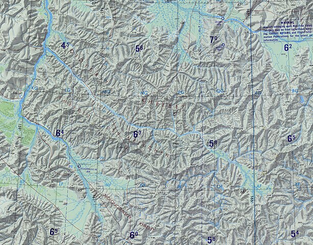
File:Oloy Range-ONC C-7.jpg
Jump to navigation
Jump to search

Size of this preview: 765 × 599 pixels. Other resolutions: 306 × 240 pixels | 613 × 480 pixels | 980 × 768 pixels | 1,280 × 1,003 pixels | 2,287 × 1,792 pixels.
Original file (2,287 × 1,792 pixels, file size: 1.65 MB, MIME type: image/jpeg)
File history
Click on a date/time to view the file as it appeared at that time.
| Date/Time | Thumbnail | Dimensions | User | Comment | |
|---|---|---|---|---|---|
| current | 04:23, 5 March 2022 | | 2,287 × 1,792 (1.65 MB) | commons>Xufanc | Uploaded a work by Defense Mapping Agency Aerospace Center, St. Louis Air Force Station, Mo. from https://en.wikipedia.org/wiki/File:Operational_Navigation_Chart_C-7,_5th_edition.jpg with UploadWizard |
File usage
There are no pages that use this file.