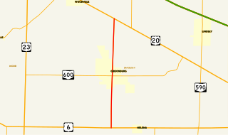
File:Ohio State Route 300 map.svg
Jump to navigation
Jump to search

Size of this PNG preview of this SVG file: 800 × 474 pixels. Other resolutions: 320 × 190 pixels | 640 × 379 pixels | 1,024 × 607 pixels | 1,280 × 759 pixels | 2,560 × 1,518 pixels | 2,899 × 1,719 pixels.
Original file (SVG file, nominally 2,899 × 1,719 pixels, file size: 149 KB)
File history
Click on a date/time to view the file as it appeared at that time.
| Date/Time | Thumbnail | Dimensions | User | Comment | |
|---|---|---|---|---|---|
| current | 04:36, 17 August 2013 | | 2,899 × 1,719 (149 KB) | commons>O | {{Information |Description={{en|Map of w:Ohio State Route 300}} |Source={{own}}, [http://www.dot.state.oh.us/Divisions/Planning/TechServ/TIM/Pages/ESRI.aspx GIS data] |Date=2013-08-17 |Author=User:O {{created with Inkscape}} |Permission= |othe... |
File usage
There are no pages that use this file.