File:OSM-Sandy Hill.png
Jump to navigation
Jump to search
No higher resolution available.
OSM-Sandy_Hill.png (736 × 574 pixels, file size: 261 KB, MIME type: image/png)
File history
Click on a date/time to view the file as it appeared at that time.
| Date/Time | Thumbnail | Dimensions | User | Comment | |
|---|---|---|---|---|---|
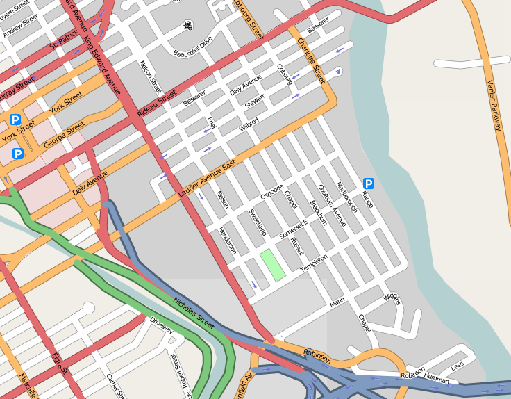
| current | 13:28, 30 October 2007 | | 736 × 574 (261 KB) | commons>Padraic | {{Information |Description={{en|Map of en:Sandy Hill in en:Ottawa, en:Canada}}{{fr|Carte du fr:Côte-de-Sable à fr:Ottawa, fr:Canada}} |Source=http://openstreetmap.org |Date= |Author=OpenStreetMap contributors |Permissio |
File usage
There are no pages that use this file.