File:Northwest Territorial Imperative map.svg
Jump to navigation
Jump to search

Size of this PNG preview of this SVG file: 800 × 495 pixels. Other resolutions: 320 × 198 pixels | 640 × 396 pixels | 1,024 × 633 pixels | 1,280 × 791 pixels | 2,560 × 1,583 pixels | 959 × 593 pixels.
Original file (SVG file, nominally 959 × 593 pixels, file size: 92 KB)
File history
Click on a date/time to view the file as it appeared at that time.
| Date/Time | Thumbnail | Dimensions | User | Comment | |
|---|---|---|---|---|---|
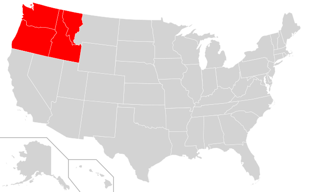
| current | 16:18, 22 October 2023 | | 959 × 593 (92 KB) | commons>Learnbeforeseptember | The proposed territory does not include Montana east of I-15 or Wyoming. |
File usage
There are no pages that use this file.