File:Northumbria 802.jpg
Jump to navigation
Jump to search

Size of this preview: 486 × 599 pixels. Other resolutions: 195 × 240 pixels | 389 × 480 pixels | 623 × 768 pixels | 831 × 1,024 pixels | 1,800 × 2,218 pixels.
Original file (1,800 × 2,218 pixels, file size: 649 KB, MIME type: image/jpeg)
File history
Click on a date/time to view the file as it appeared at that time.
| Date/Time | Thumbnail | Dimensions | User | Comment | |
|---|---|---|---|---|---|
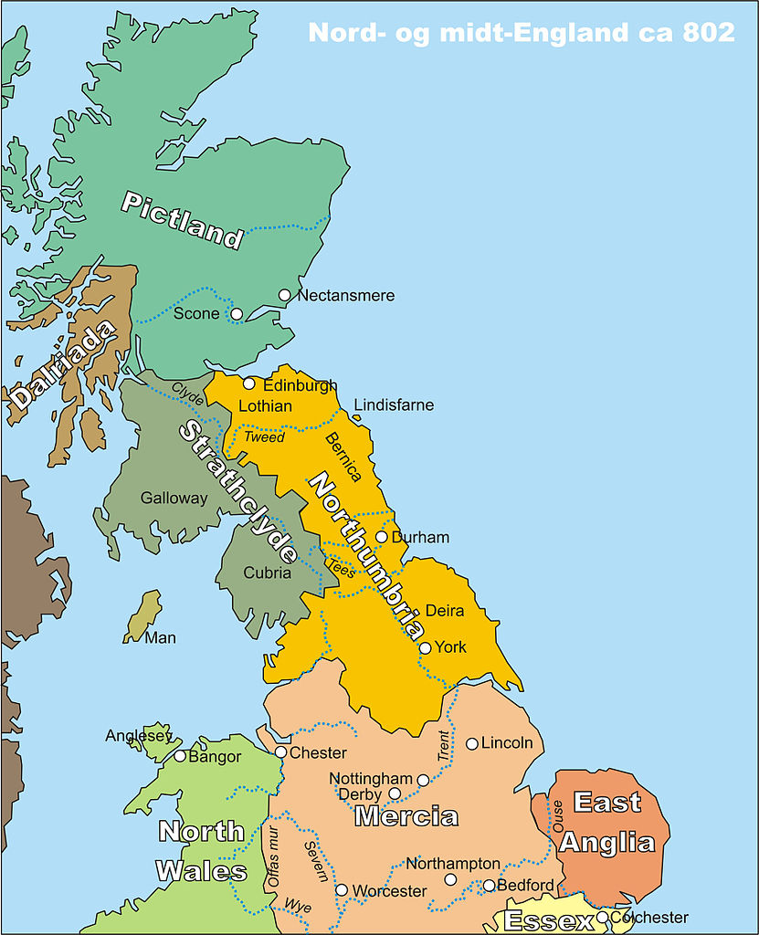
| current | 21:22, 19 October 2006 | | 1,800 × 2,218 (649 KB) | commons>Finn Bjorklid | == Summary == {{Information |Description=Kart over midt- og nord-England, spesielt Northumbria, rundt år 802 (Map of Middle and Northern England, spc. Northumbria, around 802) |Source=My own drawing, drawn in CorelDraw12, source file available on request |
File usage
There are no pages that use this file.