File:Northern Pacific Railroad map circa 1900.jpg
Jump to navigation
Jump to search

Size of this preview: 800 × 304 pixels. Other resolutions: 320 × 121 pixels | 640 × 243 pixels | 1,024 × 389 pixels | 1,280 × 486 pixels | 2,560 × 971 pixels | 8,850 × 3,358 pixels.
Original file (8,850 × 3,358 pixels, file size: 8.9 MB, MIME type: image/jpeg)
File history
Click on a date/time to view the file as it appeared at that time.
| Date/Time | Thumbnail | Dimensions | User | Comment | |
|---|---|---|---|---|---|
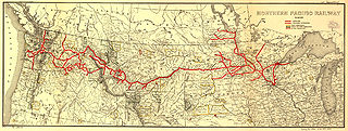
| current | 22:03, 15 July 2008 | 8,850 × 3,358 (8.9 MB) | commons>Ian13 | {{Information |Description={{en|Map showing the en:Northern Pacific Railroad route circa 1900. Map created by L.L. Poates Engr'g Co., New York, 1900. Image from the Library of Congress map collection, call number G4126.P3 1900 .L55 RR 502. From Four |
File usage
There are no pages that use this file.