File:Netherlands-CIA WFB Map-10-10-10.png
Jump to navigation
Jump to search
No higher resolution available.
Netherlands-CIA_WFB_Map-10-10-10.png (330 × 353 pixels, file size: 68 KB, MIME type: image/png)
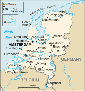
| Description | Map of the Netherlands |
| Date | (UTC) |
| Source | |
| Author |
|
| This is a retouched picture, which means that it has been digitally altered from its original version. The original can be viewed here: Netherlands-CIA WFB Map.png:
|
This image is in the public domain because it contains materials that originally came from the United States Central Intelligence Agency's World Factbook.
|
 |
Original upload log
This image is a derivative work of the following images:
- File:Netherlands-CIA_WFB_Map.png licensed with PD-USGov-CIA-WF
Uploaded with derivativeFX
File history
Click on a date/time to view the file as it appeared at that time.
| Date/Time | Thumbnail | Dimensions | User | Comment | |
|---|---|---|---|---|---|
| current | 16:17, 14 September 2019 | | 330 × 353 (68 KB) | commons>Thayts | Borkum to Germany |
File usage
There are no pages that use this file.