File:Netherlands, Kagerplassen, map of 1617.jpg
Jump to navigation
Jump to search

Size of this preview: 800 × 503 pixels. Other resolutions: 320 × 201 pixels | 640 × 402 pixels | 1,024 × 644 pixels | 1,280 × 805 pixels | 2,560 × 1,610 pixels | 6,494 × 4,083 pixels.
Original file (6,494 × 4,083 pixels, file size: 10.1 MB, MIME type: image/jpeg)
File history
Click on a date/time to view the file as it appeared at that time.
| Date/Time | Thumbnail | Dimensions | User | Comment | |
|---|---|---|---|---|---|
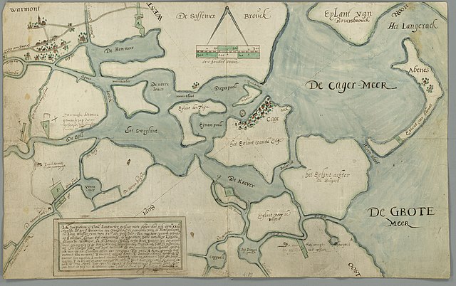
| current | 10:59, 1 December 2011 | | 6,494 × 4,083 (10.1 MB) | commons>Loranchet | {{Information |Description ={{nl|1=Kaart van de Kagerplassen uit 1617. (Archiefbeschrijving: ''Kaart van zekere landen, gelegen onder Warmond en Alkemade, toebehorende aan zekere vicarie, gefondeerd op St. Catrijnen altaar te Warmond ten verzoeke van d |
File usage
There are no pages that use this file.