File:National Mall and surrounding streets - Washington DC - 1932.jpg
Jump to navigation
Jump to search

Size of this preview: 800 × 458 pixels. Other resolutions: 320 × 183 pixels | 640 × 366 pixels | 1,068 × 611 pixels.
Original file (1,068 × 611 pixels, file size: 404 KB, MIME type: image/jpeg)
File history
Click on a date/time to view the file as it appeared at that time.
| Date/Time | Thumbnail | Dimensions | User | Comment | |
|---|---|---|---|---|---|
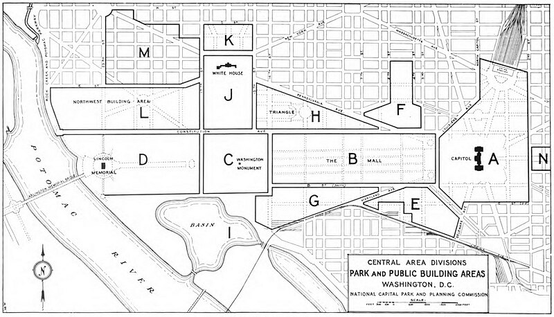
| current | 00:42, 13 May 2014 | | 1,068 × 611 (404 KB) | commons>Tim1965 | {{Information |Description ={{en|1=Map showing the National Mall and surrounding streets in downtown Washington, D.C., in the United States. The map shows the various planning zones used by the National Capital Park and Planning Commission. Note t... |
File usage
There are no pages that use this file.