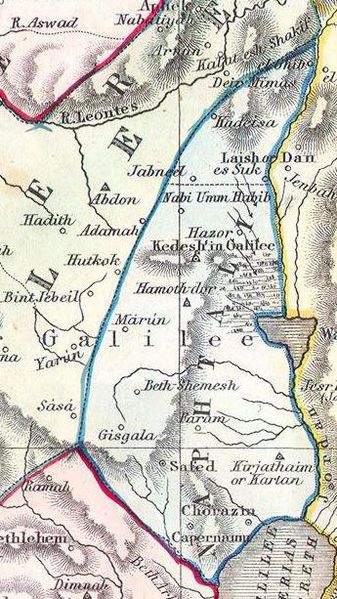
File:Naphtali. 1852 Philip Map of Palestine - Israel - Holy Land - Geographicus - Palestine-philip-1852.jpg
Jump to navigation
Jump to search

Size of this preview: 337 × 599 pixels. Other resolutions: 135 × 240 pixels | 345 × 613 pixels.
Original file (345 × 613 pixels, file size: 78 KB, MIME type: image/jpeg)
File history
Click on a date/time to view the file as it appeared at that time.
| Date/Time | Thumbnail | Dimensions | User | Comment | |
|---|---|---|---|---|---|
| current | 16:19, 23 March 2016 | | 345 × 613 (78 KB) | commons>Geagea | == {{int:filedesc}} == {{Artwork |artist={{User:Multichill/Geographicus/cartographers|1=phillips.txt|subst=}} |title= Palestine or the Holy Land According to its Ancient Divisions & Tribes. |description= {{en|This beautiful hand colored map is a steel... |
File usage
There are no pages that use this file.