File:Mormon Island Map 1892.jpg
Jump to navigation
Jump to search

Size of this preview: 800 × 523 pixels. Other resolutions: 320 × 209 pixels | 640 × 419 pixels | 1,049 × 686 pixels.
Original file (1,049 × 686 pixels, file size: 108 KB, MIME type: image/jpeg)
File history
Click on a date/time to view the file as it appeared at that time.
| Date/Time | Thumbnail | Dimensions | User | Comment | |
|---|---|---|---|---|---|
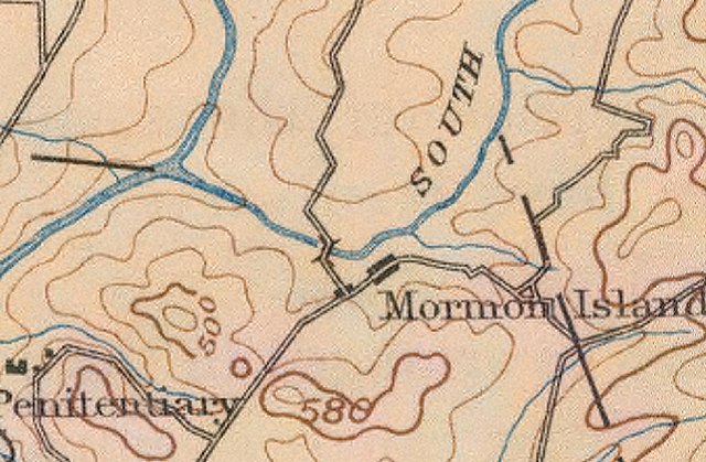
| current | 06:22, 2 October 2007 | | 1,049 × 686 (108 KB) | commons>Jamesm76 | Topographical map from USGS in 1892 (Sacramento, California). Source: http://sunsite.berkeley.edu/histopo/ |
File usage
There are no pages that use this file.