File:Midlandtrailsign.jpg
Jump to navigation
Jump to search
Size of this preview: 389 × 600 pixels. Other resolutions: 156 × 240 pixels | 311 × 480 pixels | 498 × 768 pixels | 1,153 × 1,777 pixels.
Original file (1,153 × 1,777 pixels, file size: 2.48 MB, MIME type: image/jpeg)
Transwiki approved by: w:en:User:Dmcdevit
This image was copied from wikipedia:en. The original description was:
Summary
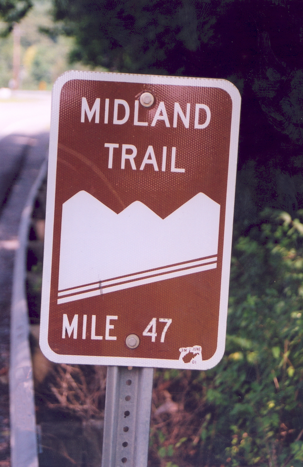
Midland Trail Sign A sign for Midland Trail marks the path in Ansted, West Virginia. Public domain.
Midland Trail
Max. Size: 3.8" x 5.9"@ 300 dpi Credits: Photo by Angel Crane, National Scenic Byways Online
Link to source: [1]
Licensing
| This image is a work of a United States Department of Transportation employee, taken or made as part of that person's official duties. As a work of the U.S. federal government, the image is in the public domain. |
Original upload log
| date/time | username | resolution | size | edit summary |
|---|---|---|---|---|
| 18:44, 12 October 2005 | w:en:User:Vaoverland | 1153×1777 | 2.48 MB | Midland Trail Sign A sign for Midland Trail marks the path in Ansted, West Virginia. Public domain. Midland Trail Max. Size: 3.8" x 5.9"@ 300 dpi Credits: Photo by Angel Crane Source: Supplied by A. Crane Link to source: [http://www.byways.org/pres |
Image description page history
| link | date/time | username | edit summary |
|---|---|---|---|
| http://en.wikipedia.org/w/index.php?title=Image:Midlandtrailsign.jpg&redirect=no&oldid=48462782 | 06:27, 10 September 2007 | w:en:User:Dmcdevit | |
| http://en.wikipedia.org/w/index.php?title=Image:Midlandtrailsign.jpg&redirect=no&oldid=48462782 | 19:59, 14 April 2006 | w:en:User:Howcheng | |
| http://en.wikipedia.org/w/index.php?title=Image:Midlandtrailsign.jpg&redirect=no&oldid=25371589 | 18:44, 12 October 2005 | w:en:User:Vaoverland | (Midland Trail Sign A sign for Midland Trail marks the path in Ansted, West Virginia. Public domain. Midland Trail Max. Size: 3.8" x 5.9"@ 300 dpi Credits: Photo by Angel Crane Source: Supplied by A. Crane Link to source: [http://www.byways.org/pres) |
File history
Click on a date/time to view the file as it appeared at that time.
| Date/Time | Thumbnail | Dimensions | User | Comment | |
|---|---|---|---|---|---|
| current | 16:29, 10 September 2007 | | 1,153 × 1,777 (2.48 MB) | commons>BetacommandBot | Transwiki approved by: w:en:User:Dmcdevit This image was copied from wikipedia:en. The original description was: == Summary == Midland Trail Sign A sign for Midland Trail marks the path in Ansted, West Virginia. Public domain. Midland Trail Max. |
File usage
There are no pages that use this file.