File:Mexico Tlaxcala location map.svg
Jump to navigation
Jump to search

Size of this PNG preview of this SVG file: 800 × 491 pixels. Other resolutions: 320 × 196 pixels | 640 × 393 pixels | 1,024 × 628 pixels | 1,280 × 785 pixels | 2,560 × 1,570 pixels | 4,066 × 2,494 pixels.
Original file (SVG file, nominally 4,066 × 2,494 pixels, file size: 438 KB)
W3C-validity not checked.
| Description |
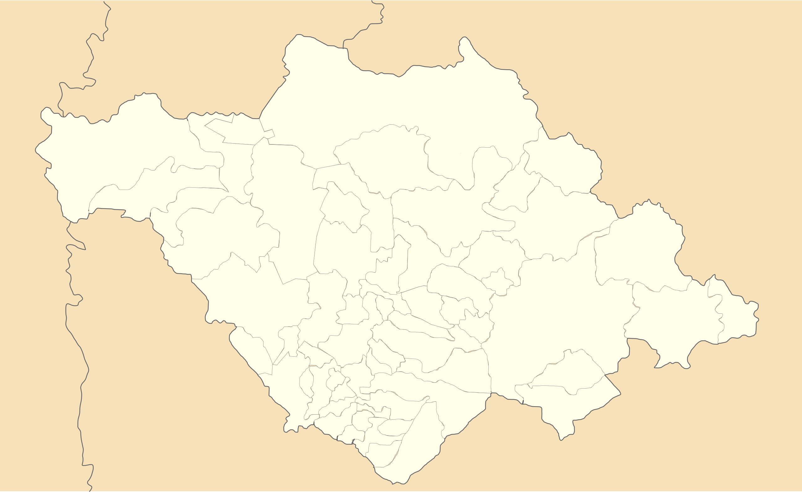
Location Map of en:Tlaxcala Equirectangular projection, Geographic limits of the map:
|
| Date | |
| Source | Own work |
| Author | Battroid (talk) |
I, the copyright holder of this work, hereby publish it under the following license:
| I, the copyright holder of this work, release this work into the public domain. This applies worldwide. In some countries this may not be legally possible; if so: I grant anyone the right to use this work for any purpose, without any conditions, unless such conditions are required by law. |
File history
Click on a date/time to view the file as it appeared at that time.
| Date/Time | Thumbnail | Dimensions | User | Comment | |
|---|---|---|---|---|---|
| current | 21:00, 20 November 2011 | | 4,066 × 2,494 (438 KB) | commons>Battroid | {{ValidSVG}} {{Information |Description=Location Map of en:Tlaxcala Equirectangular projection, Geographic limits of the map: * N: 19.774° N * S: 19.09° N * W: 98.76° W * E: 97.579° W |Source={{own work}} |Date=2011-11-20 |Author=[[User:Battroid| |
File usage
There are no pages that use this file.