File:Mexico Guerrero location map.svg
Jump to navigation
Jump to search

Size of this PNG preview of this SVG file: 800 × 503 pixels. Other resolutions: 320 × 201 pixels | 640 × 403 pixels | 1,024 × 644 pixels | 1,280 × 805 pixels | 2,560 × 1,610 pixels | 3,993 × 2,512 pixels.
Original file (SVG file, nominally 3,993 × 2,512 pixels, file size: 1.18 MB)
File history
Click on a date/time to view the file as it appeared at that time.
| Date/Time | Thumbnail | Dimensions | User | Comment | |
|---|---|---|---|---|---|
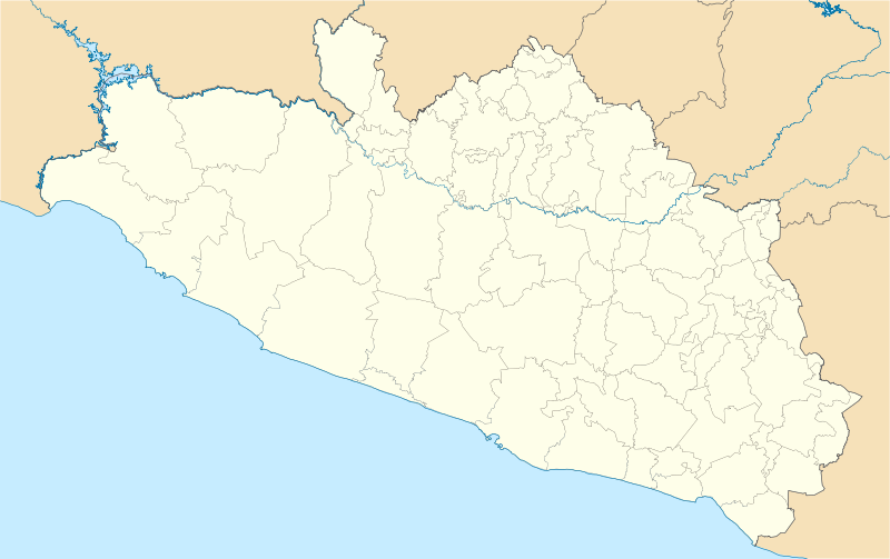
| current | 06:01, 16 December 2011 | | 3,993 × 2,512 (1.18 MB) | commons>Battroid | {{ValidSVG}} {{Information |Description=Location Map of en:Estado de Guerrero Equirectangular projection, Geographic limits of the map: * N: 18.96° N * S: 16.25° N * W: 102.39° W * E: 97.87° W |Source={{own work}} |Date=2011-12-13 |Author=[[User: |
File usage
There are no pages that use this file.