File:Meškonysgeo.JPG
Jump to navigation
Jump to search
Size of this preview: 800 × 592 pixels. Other resolutions: 320 × 237 pixels | 640 × 473 pixels | 1,024 × 757 pixels | 1,280 × 947 pixels | 2,604 × 1,926 pixels.
Original file (2,604 × 1,926 pixels, file size: 1.06 MB, MIME type: image/jpeg)
| Description |
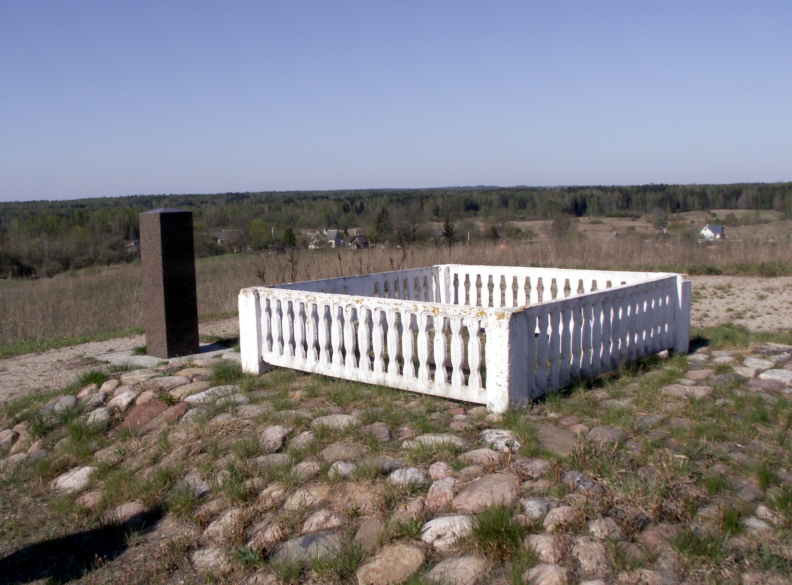
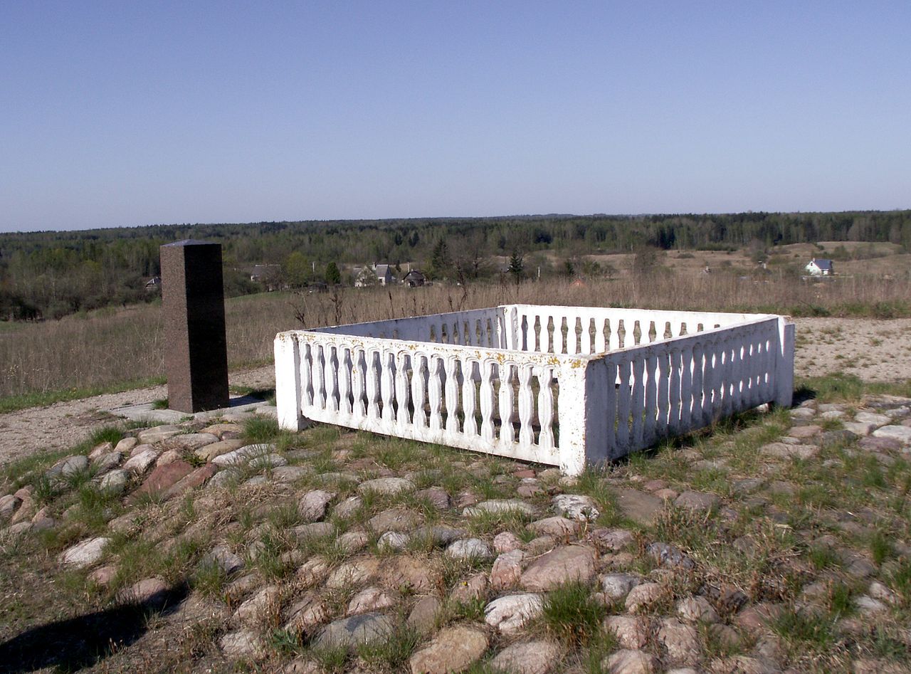
English: Struve Geodetic Arc, Meškonys, Vilnius district, Lithuania Lietuvių: Struvės geodezinis lankas, Meškonys, Vilniaus rajonas, Lietuva |
| Date | |
| Source | Own work |
| Author | Rimantas Lazdynas |
Licensing
I, the copyright holder of this work, hereby publish it under the following licenses:

|
Permission is granted to copy, distribute and/or modify this document under the terms of the GNU Free Documentation License, Version 1.2 or any later version published by the Free Software Foundation; with no Invariant Sections, no Front-Cover Texts, and no Back-Cover Texts. A copy of the license is included in the section entitled GNU Free Documentation License. |
| This file is licensed under the Creative Commons Attribution-Share Alike 3.0 Unported license. | ||
| ||
| This licensing tag was added to this file as part of the GFDL licensing update. |
You may select the license of your choice.
File history
Click on a date/time to view the file as it appeared at that time.
| Date/Time | Thumbnail | Dimensions | User | Comment | |
|---|---|---|---|---|---|
| current | 19:24, 7 May 2009 | | 2,604 × 1,926 (1.06 MB) | commons>Lazdynas | {{Information |Description={{en|1= Struve Geodetic Arc, Meškonys, Vilnius district, Lithuania}} {{lt|1= Struvės geodezinis lankas, Meškonys, Vilniaus rajonas, Lietuva}} |Source=own work |Date=2009-05-01 |Author= Rimantas Lazdynas |Permission=see belo |
File usage
There are no pages that use this file.