File:Mayberry Presbyterian Church from southeast.jpg
Jump to navigation
Jump to search
Size of this preview: 800 × 532 pixels. Other resolutions: 320 × 213 pixels | 640 × 426 pixels | 1,024 × 681 pixels | 1,280 × 851 pixels | 2,560 × 1,702 pixels | 6,016 × 4,000 pixels.
Original file (6,016 × 4,000 pixels, file size: 6.39 MB, MIME type: image/jpeg)
|
This is an image of a place or building that is listed on the National Register of Historic Places in the United States of America. Its reference number is 07000225. |
| Camera location | | View this and other nearby images on: OpenStreetMap |
|---|
| Description |
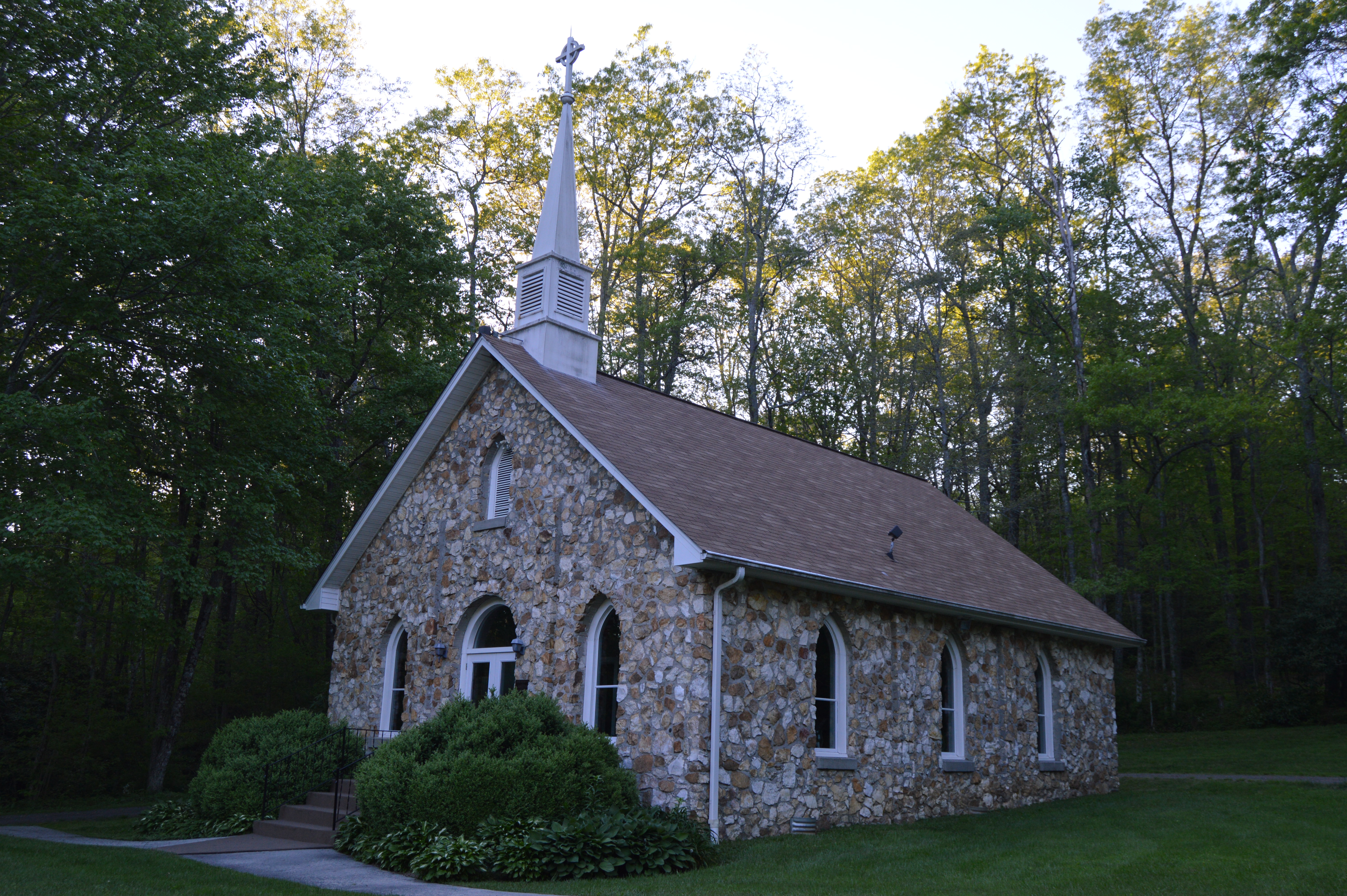
English: Front and eastern side of Mayberry Presbyterian Church, located along the Blue Ridge Parkway southwest of Meadows of Dan in Patrick County, Virginia, United States. Built in 1925, it is listed on the National Register of Historic Places. |
||
| Date | Taken on 13 May 2017 | ||
| Source | Own work | ||
| Author | Nyttend | ||
| Permission (Reusing this file) |
|
File history
Click on a date/time to view the file as it appeared at that time.
| Date/Time | Thumbnail | Dimensions | User | Comment | |
|---|---|---|---|---|---|
| current | 03:30, 19 May 2017 | | 6,016 × 4,000 (6.39 MB) | commons>Nyttend | {{NRHP|07000225}} {{Location|36|42|45|N|80|26|16|W}} {{Information |Description={{en|Front and eastern side of {{w|Mayberry Presbyterian Church}}, located along the {{w|Blue Ridge Parkway}} southwest of {{w|Meadows of Dan, Virginia|Meadows of Dan}} in... |
File usage
There are no pages that use this file.