File:Mashonaland East districts.png
Jump to navigation
Jump to search
Size of this preview: 776 × 600 pixels. Other resolutions: 311 × 240 pixels | 621 × 480 pixels | 994 × 768 pixels | 1,056 × 816 pixels.
Original file (1,056 × 816 pixels, file size: 39 KB, MIME type: image/png)
Summary
| Description |
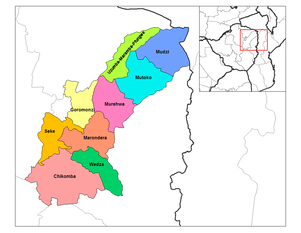
English: Map of the districts of Mashonaland East province of Zimbabwe. |
| Date | |
| Source |
Own work (Rarelibra) using MapInfo Professional v8.5 and various mapping resources. Transferred from en.wikipedia |
| Author | Rarelibra at en.wikipedia |
Licensing
| This work has been released into the public domain by its author, Rarelibra at English Wikipedia. This applies worldwide. In some countries this may not be legally possible; if so: Rarelibra grants anyone the right to use this work for any purpose, without any conditions, unless such conditions are required by law. |
Original upload log
The original description page was here. All following user names refer to en.wikipedia.
- 2006-09-28 18:29 Rarelibra 1056×816× (34182 bytes) Map of the districts of Mashonaland East province of Angola. Created by ~~~~ for public domain use, using MapInfo Professional v8.5 and various mapping resources.
File history
Click on a date/time to view the file as it appeared at that time.
| Date/Time | Thumbnail | Dimensions | User | Comment | |
|---|---|---|---|---|---|
| current | 20:15, 22 April 2014 | | 1,056 × 816 (39 KB) | commons>Maproom | Relabelled the northern of the two "Murehwa" districts as "Uzumba-Maramba-Pfungwe", as requested at https://en.wikipedia.org/wiki/Wikipedia:Graphics_Lab/Map_workshop on April 22nd, 2014. |
File usage
There are no pages that use this file.