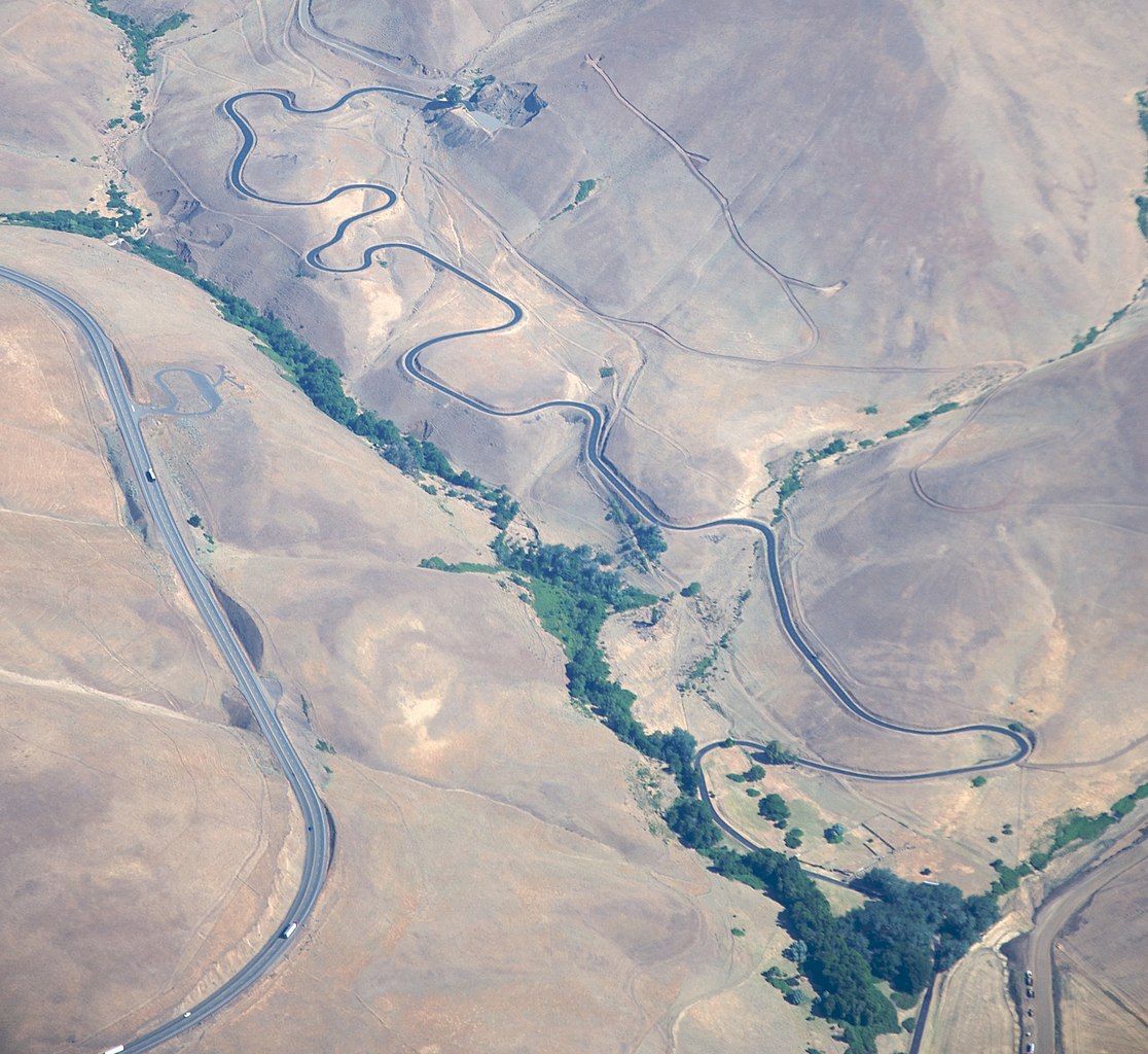
File:Maryhill Loop Road from air.jpg
Jump to navigation
Jump to search

Size of this preview: 653 × 599 pixels. Other resolutions: 262 × 240 pixels | 523 × 480 pixels | 837 × 768 pixels | 1,116 × 1,024 pixels | 2,232 × 2,048 pixels | 2,848 × 2,613 pixels.
Original file (2,848 × 2,613 pixels, file size: 2.26 MB, MIME type: image/jpeg)
File history
Click on a date/time to view the file as it appeared at that time.
| Date/Time | Thumbnail | Dimensions | User | Comment | |
|---|---|---|---|---|---|
| current | 00:11, 6 September 2010 | | 2,848 × 2,613 (2.26 MB) | commons>Dennis Bratland | {{Information |Description=Maryhill Loop Road |Source=[http://www.flickr.com/photos/sbeebe/3717503753/ Maryhill Loop Road] |Date=2007-07-08 09:29 |Author=[http://www.flickr.com/photos/28585409@N04 Sam Beebe] |Permission= |other_versions= }} {{Location dec |
File usage
There are no pages that use this file.