File:Marine Atlantic ferry ports.png
Jump to navigation
Jump to search

Size of this preview: 428 × 599 pixels. Other resolutions: 171 × 240 pixels | 534 × 747 pixels.
Original file (534 × 747 pixels, file size: 22 KB, MIME type: image/png)
File history
Click on a date/time to view the file as it appeared at that time.
| Date/Time | Thumbnail | Dimensions | User | Comment | |
|---|---|---|---|---|---|
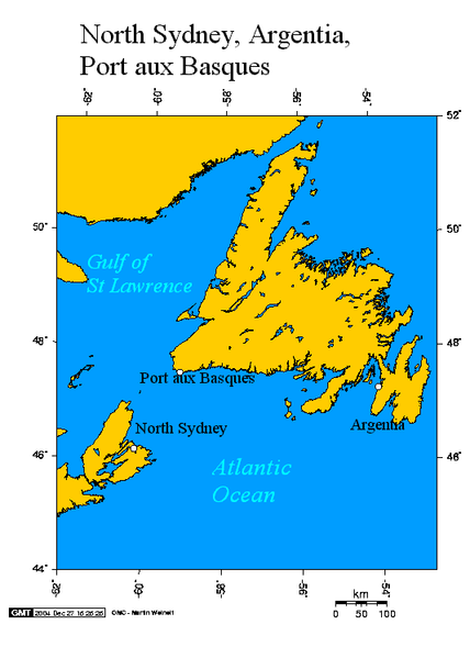
| current | 18:00, 25 November 2007 | | 534 × 747 (22 KB) | commons>File Upload Bot (Magnus Manske) | {{BotMoveToCommons|en.wikipedia}} {{Information |Description={{en|Argentia and Port aux Basques Newfoundland and North Sydney Nova Scotia This map created using this [http://www.aquarius.geomar.de/omc/ online map creation tool]. The following co-ordinat |
File usage
There are no pages that use this file.