File:MapaPeruMannessonMallet1683.JPG
Jump to navigation
Jump to search

Size of this preview: 440 × 599 pixels. Other resolutions: 176 × 240 pixels | 352 × 480 pixels | 564 × 768 pixels | 752 × 1,024 pixels | 1,677 × 2,284 pixels.
Original file (1,677 × 2,284 pixels, file size: 2.03 MB, MIME type: image/jpeg)
Summary
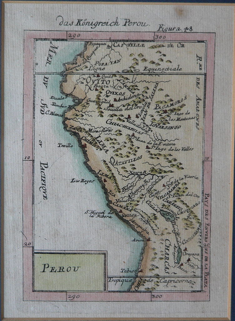
| Description | Perou. Das Königreich Perou. |
| Date | |
| Source | Description de l'Univers, contenant les différents systèmes du monde |
| Author | Alain Manesson Mallet (1630-1706), cartographer of Louis XIV. Photo by Manuel González Olaechea y Franco. |
Licensing
|
This is a faithful photographic reproduction of a two-dimensional, public domain work of art. The work of art itself is in the public domain for the following reason:
The official position taken by the Wikimedia Foundation is that "faithful reproductions of two-dimensional public domain works of art are public domain".
This photographic reproduction is therefore also considered to be in the public domain in the United States. In other jurisdictions, re-use of this content may be restricted; see Reuse of PD-Art photographs for details. | ||||
File history
Click on a date/time to view the file as it appeared at that time.
| Date/Time | Thumbnail | Dimensions | User | Comment | |
|---|---|---|---|---|---|
| current | 19:40, 10 June 2005 | | 1,677 × 2,284 (2.03 MB) | commons>Manuel González Olaechea | {{GFLD}} Map of Peru. Alain Mannesson Mallet. 1683 |
File usage
There are no pages that use this file.