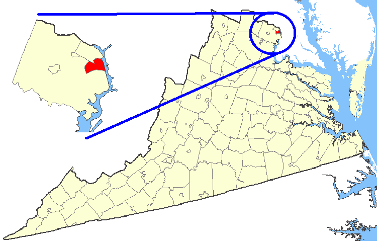
File:Map showing Alexandria city, Virginia.png
Jump to navigation
Jump to search
No higher resolution available.
Map_showing_Alexandria_city,_Virginia.png (750 × 485 pixels, file size: 34 KB, MIME type: image/png)
File history
Click on a date/time to view the file as it appeared at that time.
| Date/Time | Thumbnail | Dimensions | User | Comment | |
|---|---|---|---|---|---|
| current | 01:25, 19 February 2007 | | 750 × 485 (34 KB) | commons>Rfc1394 | {{Information| |Description=Maps of counties in Virginia |Source=http://nationalatlas.gov/ |Date= |Author= |Permission=Original work of the US Federal Government - public domain |other_versions= }} {{PD-USGov}} Category:Virginia maps |
File usage
There are no pages that use this file.