File:Map of Solomons area in 1942.png
Jump to navigation
Jump to search
Size of this preview: 800 × 432 pixels. Other resolutions: 320 × 173 pixels | 640 × 346 pixels | 1,200 × 648 pixels.
Original file (1,200 × 648 pixels, file size: 341 KB, MIME type: image/png)
File history
Click on a date/time to view the file as it appeared at that time.
| Date/Time | Thumbnail | Dimensions | User | Comment | |
|---|---|---|---|---|---|
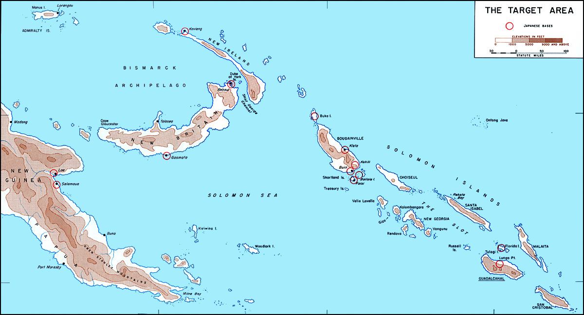
| current | 16:44, 26 May 2011 | | 1,200 × 648 (341 KB) | commons>ANGELUS | == {{int:filedesc}} == {{Information |Description= {{en|Map of Solomons area in 1942 before invasion of Guadalcanal showing Japanese bases circled in red. Modified by ~~~.}} {{it|Cartina delle [[w:it:Isole Sal |
File usage
There are no pages that use this file.