File:Map of PR-14.svg
Jump to navigation
Jump to search

Size of this PNG preview of this SVG file: 800 × 318 pixels. Other resolutions: 320 × 127 pixels | 640 × 254 pixels | 1,024 × 407 pixels | 1,280 × 508 pixels | 2,560 × 1,017 pixels | 1,259 × 500 pixels.
Original file (SVG file, nominally 1,259 × 500 pixels, file size: 150 KB)
File history
Click on a date/time to view the file as it appeared at that time.
| Date/Time | Thumbnail | Dimensions | User | Comment | |
|---|---|---|---|---|---|
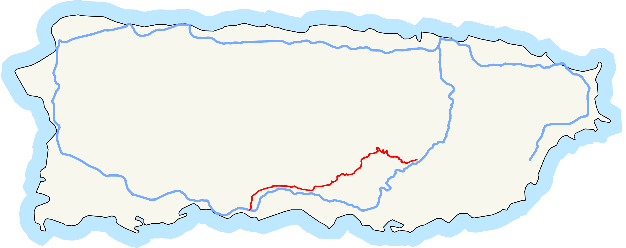
| current | 16:25, 24 July 2010 | 1,259 × 500 (150 KB) | commons>Fredddie | == {{int:filedesc}} == {{Information |Description= Map of Puerto Rico Highway 14. {{QGIS}}{{Inkscape}} |Source={{own}} |Date=2010-07-22 |Author=Fredddie |Permission= |other_versions= }} == {{int:license}} == {{PD-self}} [[Category:Road |
File usage
There are no pages that use this file.