File:Map of Orono, Penobscot Country, Maine Highlighted.png
Jump to navigation
Jump to search
Size of this preview: 416 × 599 pixels. Other resolutions: 166 × 240 pixels | 504 × 726 pixels.
Original file (504 × 726 pixels, file size: 85 KB, MIME type: image/png)
File history
Click on a date/time to view the file as it appeared at that time.
| Date/Time | Thumbnail | Dimensions | User | Comment | |
|---|---|---|---|---|---|
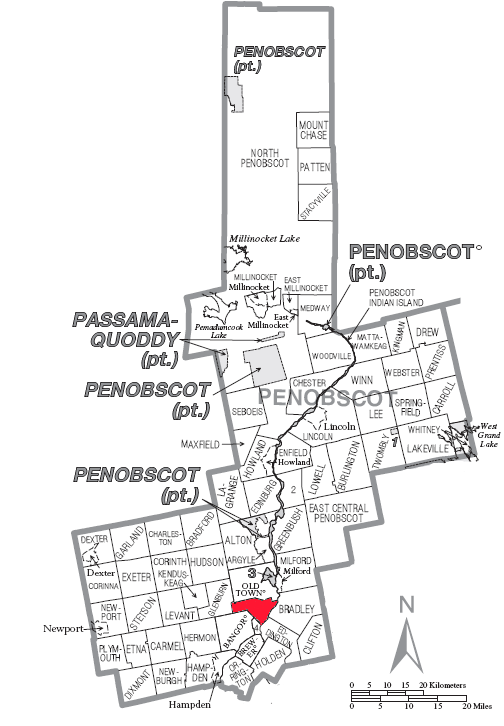
| current | 19:30, 19 September 2007 | | 504 × 726 (85 KB) | commons>SarekOfVulcan | {{Information |Description= A map of en:Penobscot County showing en:Orono (town), Maine highlighted on the map. |Source= Source image taken from the United States Census Bureau's website [http://www2.census.gov/geo/maps/general_ref/cousub_outline/ |
File usage
There are no pages that use this file.